Earthquake Answers
Image: San Andreas Fault, Wrightwood, California

Image: San Andreas Fault, Wrightwood, California
Why Earthquake Answers?
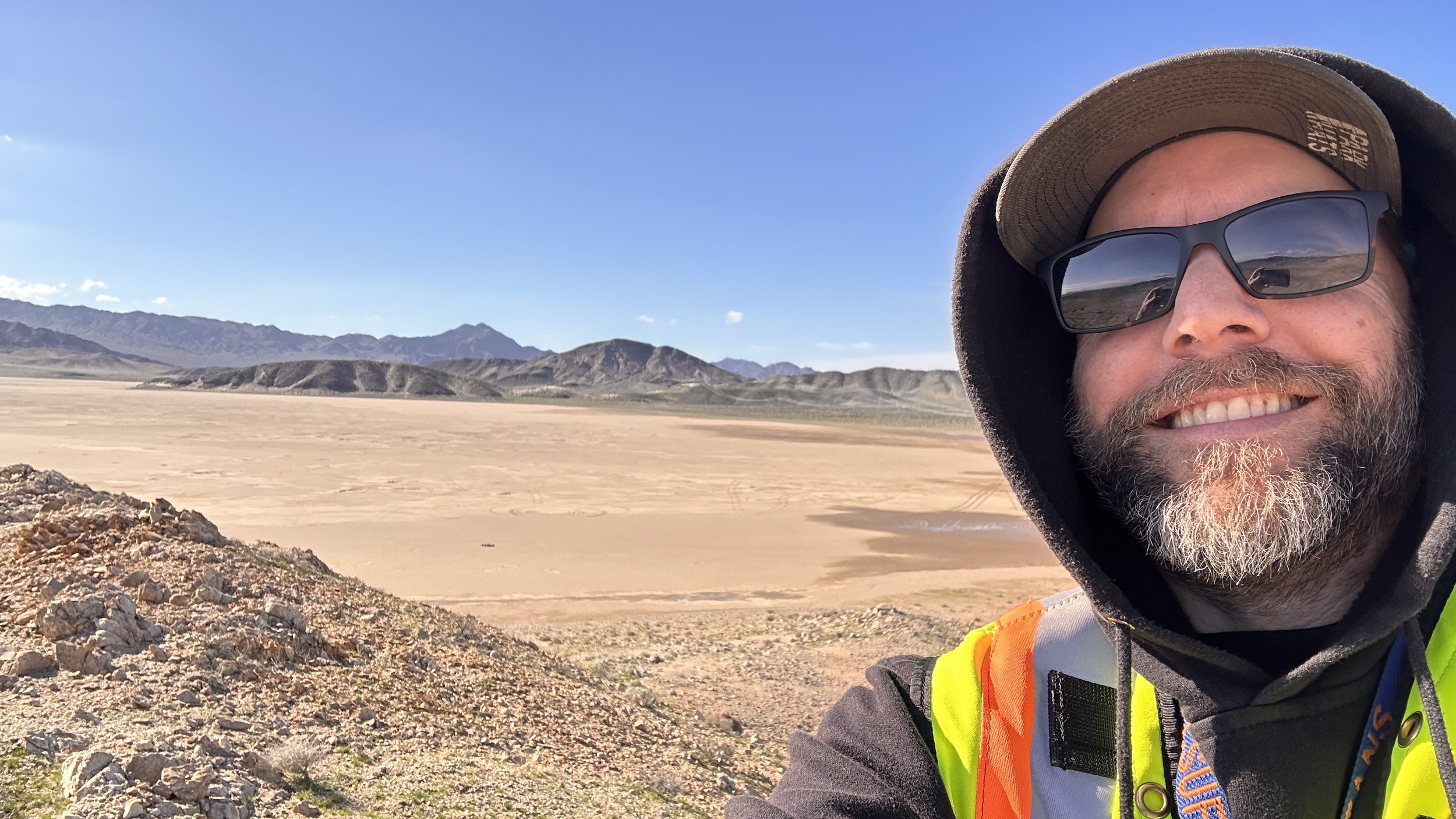
I started Earthquake Answers in 2018 to take science from the field to the classroom and into people's homes and lives, because I feel the more you know about earthquakes, the more likely you are to prepare. I'm Robert Leeper, a geologist and Professor of Geology at Mt. San Antonio College. I spent nearly a decade working with the U.S. Geological Survey on teams that included Dr. Lucy Jones, Dr. Kate Scharer, and Dr. Jason Kean. I worked on the Newport-Inglewood and San Andreas to better understand the record of past earthquakes on those faults, and I also conducted other natural hazards research investigating post-wildfire debris flows and flash floods in the Transverse Ranges, and prehistoric tsunami occurrence along the California coast and in Thailand.
Follow along on Instagram for earthquake news and preparedness tips:

Google Earth image showing the San Andreas Fault (bold red line), which is the transform tectonic plate boundary between the Pacific and North American plates. Colored lines indicate Quaternary faults of southern California. Black arrows indicate direction of relative tectonic plate motion (right lateral).
Why it matters here
Southern California straddles a transform plate boundary: the San Andreas Fault. As the Pacific and North American plates move past each other, that motion is distributed among many faults in the region, together called the San Andreas Fault system. Along the San Andreas itself, the fault is locked, so elastic strain energy keeps accumulating year after year until the fault suddenly slips and rebounds, releasing some of that energy as the seismic waves we feel as an earthquake.
This isn't a someday problem. The U.S. Geological Survey estimates a 60% chance of a magnitude 6.7 or larger earthquake in the Los Angeles region in the next 30 years. Out near Palm Springs and the Morongo Basin, the southern San Andreas hasn't produced a major rupture in more than 300 years, and geologists consider it one of the faults most likely to produce the next large earthquake. Creosote Cottage, located in Morongo Valley, sits just half a mile from the Pinto Mountain Fault and two miles from the San Andreas, so this is where I live, not just what I teach.
Why prepare?
There are two big reasons.
First, to protect the people you love. In a major earthquake, the first minutes and days matter most. Knowing what to do when the shaking starts, and having water, supplies, and a plan, can make all the difference for your family.
Second, because prepared people make stronger communities. After a large earthquake, emergency services will be stretched thin. Every household that can take care of itself frees up help for those who need it most. History shows that big earthquakes bring people together: neighbors will help neighbors and strangers will help strangers. Being prepared means you can be one of the helpers.
That's what our motto means: Knowledge · Action · Resilience. Understand the hazard, take practical steps, and recover faster together.
Learn it in person
Reading about earthquakes is a good start, but nothing beats seeing it in context. Join me for Earthquake Nights at Creosote Cottage, an afternoon workshop on regional geology, fault behavior, and personalized preparedness, followed by dinner and stargazing in the desert. Learn more and reserve your spot →
Trusted resources
These are the sources I use and recommend.
See what's shaking
USGS Latest Earthquakes: real-time map of earthquakes worldwide
MyShake app: free earthquake early warning alerts on your phone, powered by the ShakeAlert system
Get prepared
Earthquake Country Alliance: the "Seven Steps to Earthquake Safety"
Great ShakeOut: practice Drop, Cover, and Hold On with millions of others each October
Earthquake-Ready Home Checklist: my free one-page printable checklist (PDF)
Know your home and your risk
California Earthquake Authority: earthquake insurance information
Earthquake Brace + Bolt: grants to help retrofit older homes
MyHazards (Cal OES): look up the hazards at your address
